first edition Hardcover
1867 · New York,
by H. H. LLOYD & CO
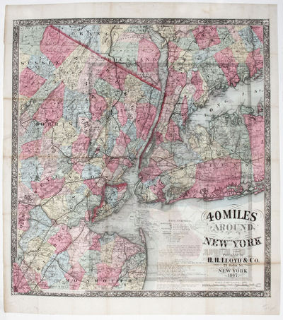
New York,, 1867. Hardcover. Very Good. 22 ¾ x 17 inches. With original red covers, separate; bright original color; some light offsetting, else fine condition. An unusual, scarce, two-sided map, one a large, striking map of the metropolitan region covering a radius of 40 miles in all directions from Manhattan, and the other a street plan of the city and the immediately adjoining areas. The maps, especially the former, reflect the vibrancy of the dynamic, post-Civil War city, as the city and its surrounding area can already be envisioned as an interconnected, single region, unified by a dense network of rail lines and roads. While this map still shows (truncated)


