by RANSON, Ada
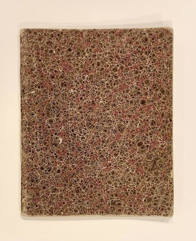
Manuscript atlas. Pen and ink with watercolor. Includes 14 maps. Each sheet measures 6.5 x 8".
This manuscript atlas contains 14 beautifully hand-drawn and watercolored maps by Ada Ranson of the Convent of Notre Dame, Manchester. These include England, Scotland, Ireland, Northern Counties, Lancashire, Devonshire, Europe, Wales, France, Spain and Portugal, Italy, Holland and Belgium, Norway and Sweden, and Turkey and Greece. Each map depicts important place names, rivers, and several other topographical features. Includes manuscript title page. Also included as an insert is the Program if the distribution of Prizes, which suggests that young (truncated)
This manuscript atlas contains 14 beautifully hand-drawn and watercolored maps by Ada Ranson of the Convent of Notre Dame, Manchester. These include England, Scotland, Ireland, Northern Counties, Lancashire, Devonshire, Europe, Wales, France, Spain and Portugal, Italy, Holland and Belgium, Norway and Sweden, and Turkey and Greece. Each map depicts important place names, rivers, and several other topographical features. Includes manuscript title page. Also included as an insert is the Program if the distribution of Prizes, which suggests that young (truncated)


