1939 · Boston
by ANONYMOUS
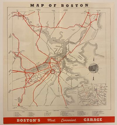
Boston: New England Folder Distributing Co, 1939. Map. Measures 17" x 15 1/2" This map of Boston published in 1939 highlights major routes to central Boston in red. An inset in the lower right corner shows the area around Eliot St. Garage, just south of Boston Common. Colleges and universities are depicted pictorially, including Harvard, M.I.T., and Simmons College. An index in the lower margin lists hotels, clubs, and other major buildings and places of interest. In very good condition. Minimal wear to original fold lines at edges. Faint crayon markings around Simmons College. Text and images on verso. (Inventory #: 317761)


